| |
|
|
|
|
|
|
|
|
|
|
|
|
|
Location designation
|
|
|
|
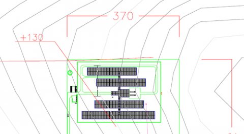
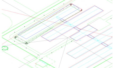
Using our Auto CAD Civil 3D program and the Google Earth software, we are able to place a project at the best geographical location in relation to height curves, distance to other units, villages, houses, etc.
The software allows us to see the landscape and topographical regions independently and simultaneously.
|
|
|
We are also able to determine the amount of soil to be removed in order to provide a horizontal surface of the buildings.
The only thing required is a verification of GPS coordinates for the site from a local land surveyor.
This method saves time and money by identifying suitable sites compared to traditional methods. Return
|
|
 |
|
|
|
|
| |
|
|
|
|
|
|
|
|
|
|
|
|
|
|
|
|
